Destination organisations, tourism teams, museums, visitor attractions, and site owners who want to show potential visitors what they are really proud of.
What it earns the buyer
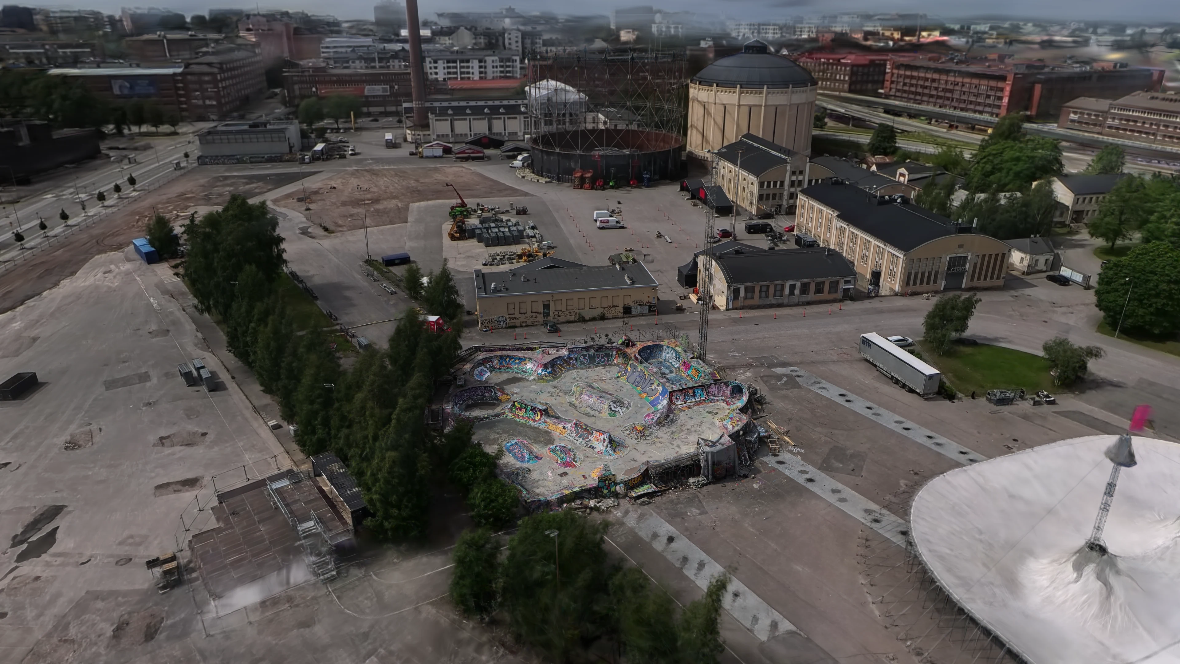
Let visitors get familiar with local sights, famous places and destinations before travelling.
Give tourism teams a visual layer for websites, route planning, and partner communication.
An easily shareable and memorable web experience.
What you get
Aerial or ground-based capture plan for the destination
Optimized browser-based 3DGS tour
Guided viewpoints and annotations that open relevant information
Standalone link or embed for the destination website
Reusable 3DGS asset for potential future use cases
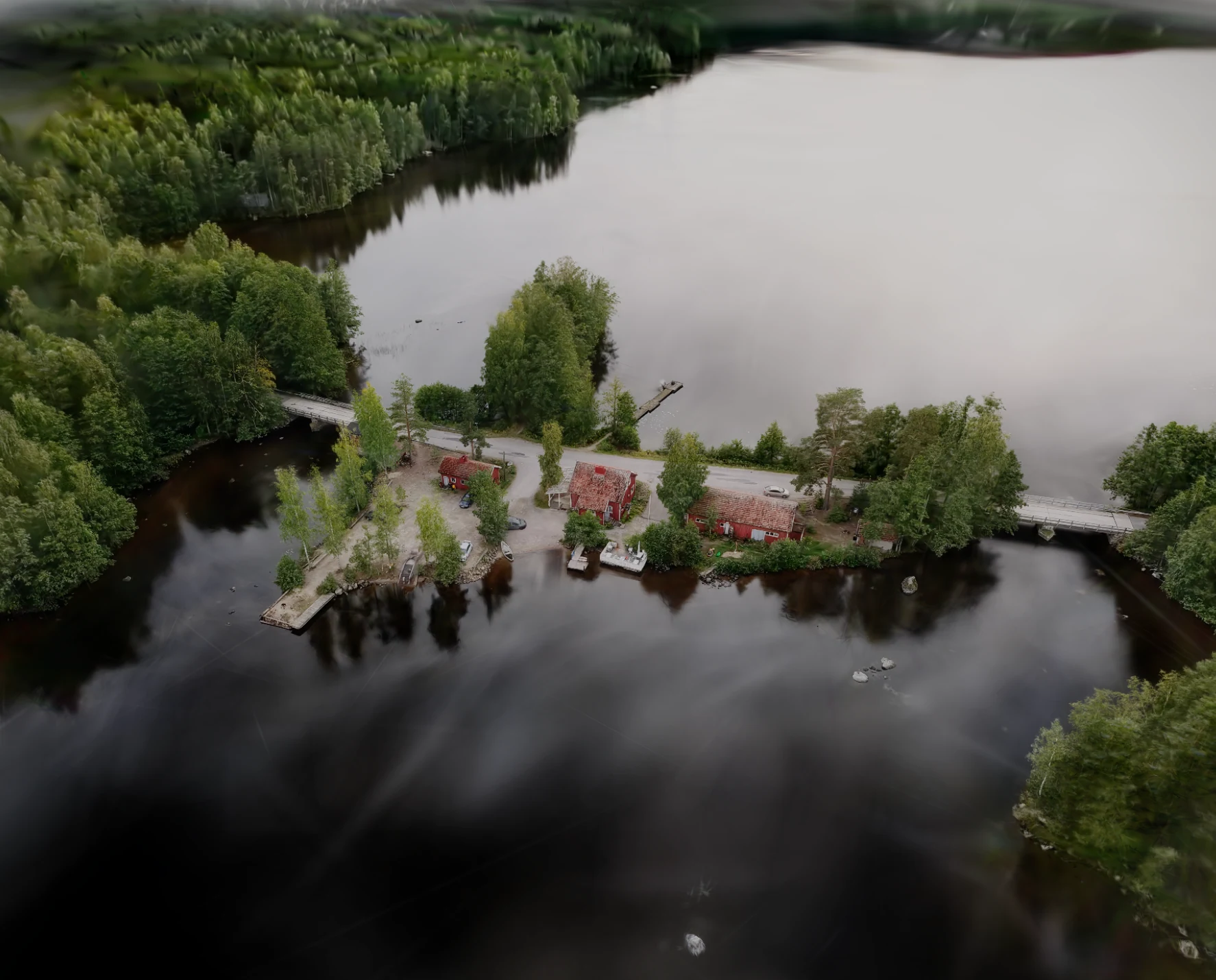
Explore Miekankoski
The café, museum buildings, bridge, and waterways sit inside one browser scene.
Destinations in photorealistic 3D · Explore Miekankoski
What we need to understand the destination
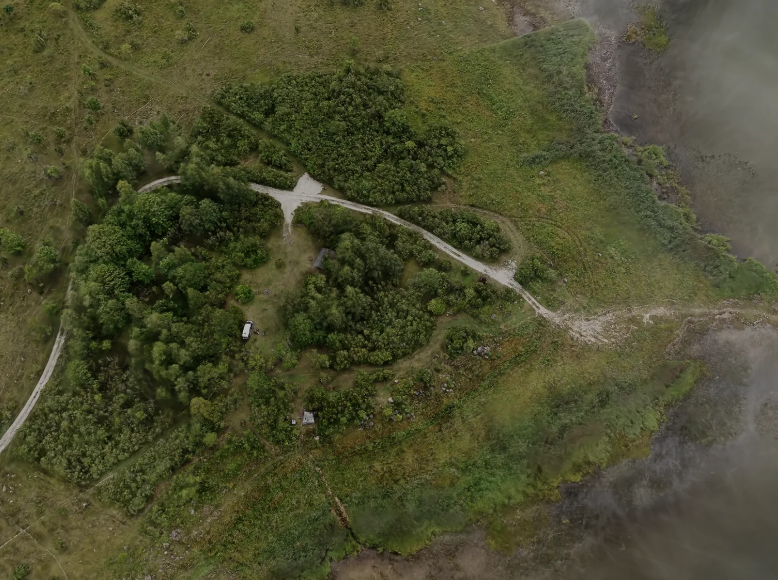
The area visitors need to understand
Access, flight, and safety constraints
The parts of the place that matter most
Visitor information, labels, or existing route material
The website or campaign where the tour will live
A location, its website, and some photos or videos are enough for the first call. We can help define the capture area, useful viewpoints, and whether 3DGS is the right format.
Five steps, from defining the main message to publishing the destination online.
01
Define the main message
Agree what the destination should show and what future visitors need to understand.
02
Plan the capture
Map the area, access, permissions, weather window, safety limits, and the views the finished tour needs.
03
Capture and process the 3DGS
Collect overlapping aerial or ground-based footage, train the Gaussian splat, clean the result, and optimize it for browser viewing.
04
Build the interactive scene
Set the opening view and add the annotations, viewpoints, links, or guided steps visitors need.
05
Publish and implement
Deliver a standalone link or implement the tour on the client's website, then test it on the devices visitors are likely to use.
FAQ
The questions buyers actually ask. Open one to read.
Q01What does 3DGS mean?+
3D Gaussian splatting reconstructs a real place from overlapping images. The result keeps photographic detail while allowing the viewer to move through the scene.
Q02Do visitors need an app?+
No. The tour opens from a normal browser link or website embed. A QR code can open the same link on location.
Q03Does it work on phones?+
Yes, when the scene is captured and optimized for mobile. The exact level of detail depends on the size of the destination and the devices the audience uses.
Q04Can we add routes or visitor information?+
Yes. The scene can include opening views, labels, images, links, and guided camera points. The useful set depends on what visitors need to know.
Q05Can it show a future or historical version?+
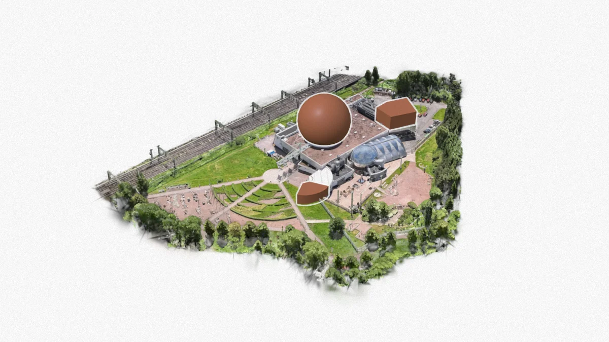
Yes. A captured 3DGS scene can be combined with modeled 3D elements, graphics, or explanatory layers when the project needs comparison.
Q06What affects the capture quality?+
Access, weather, movement, reflective surfaces, vegetation, lighting, and the size of the area all matter. We plan those constraints before capture.
AppsFlyer's 2025 benchmark across 28 billion installs puts Day-1 retention at around 25%. AR apps sit below that floor, because every reviewer is a single-use case, not a habit. WebAR removes the funnel. The link that opened the experience the first time still opens it the second.
Rework runs around 12% of a typical construction budget. Peer-reviewed BIM studies in 2025 report that putting an optimised 3D model in front of stakeholders before the first pour prevents at least a third of that, and as much as half on projects that share the model early. One Asian rail case caught 3,000 design clashes and shaved 12% off construction cost on its own.
Shopify's own data, drawn from millions of stores. The 65% sits next to a 94% conversion lift on stores that add any 3D content, and a 40% drop in returns when AR closes the imagination gap. The mechanism carries from product pages to construction, museums, and brand work.