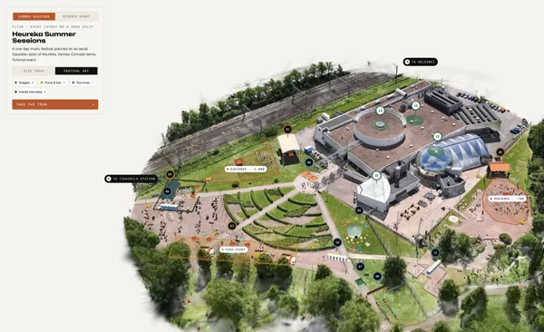
What we've learned from drone Gaussian splatting
From a skatepark to a museum island: how we capture real places, train splats locally and build browser tours around them.
Read article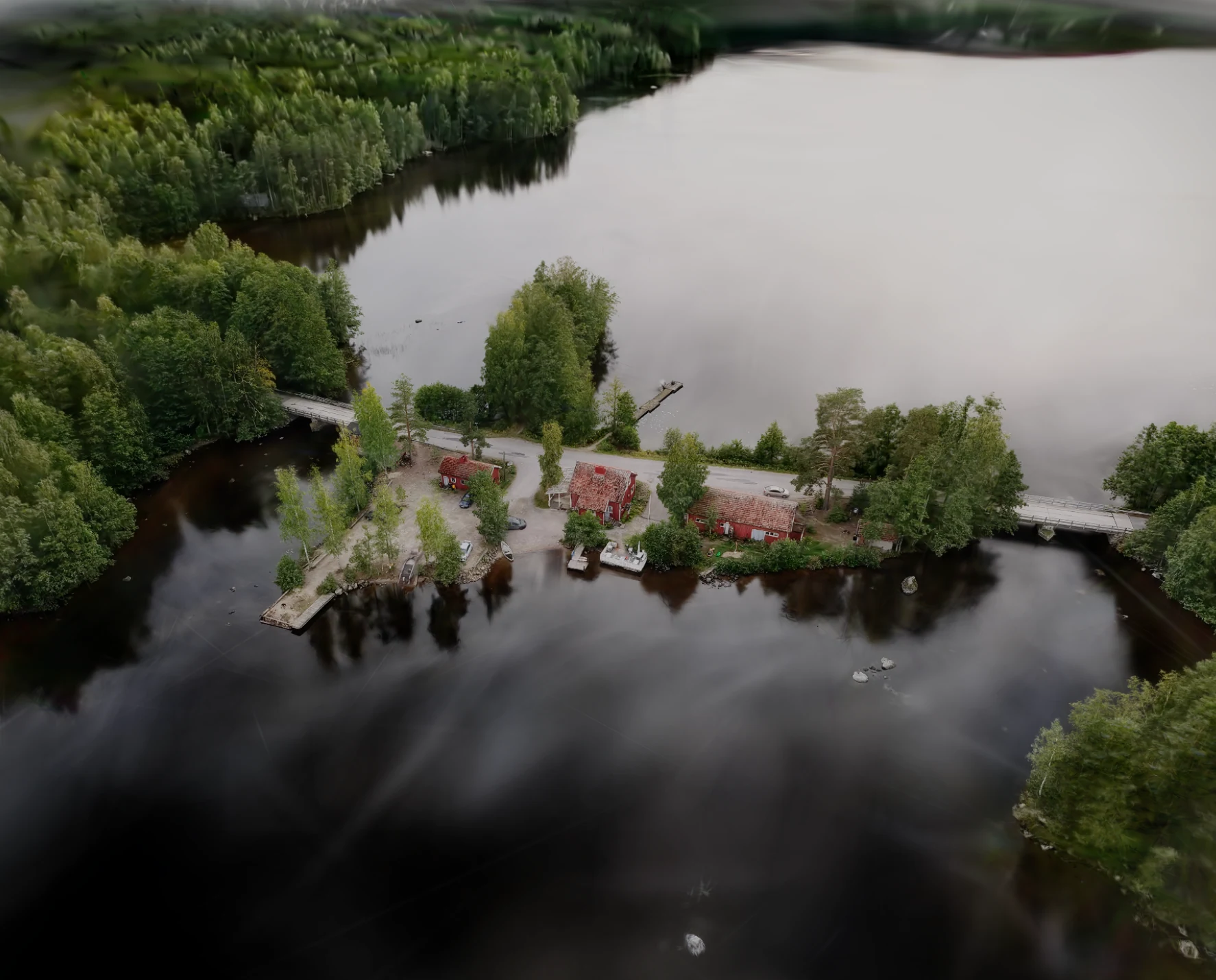

A free seaside campsite mapped as an annotated Gaussian splat
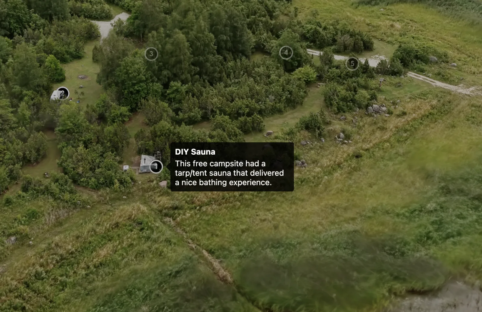
Oosaare Telkimisplats is a free campsite by the sea in Muhu island, Estonia. This aerial Gaussian splat turns the area into an interactive browser tour with hotspots that open short annotations.
01 Problem
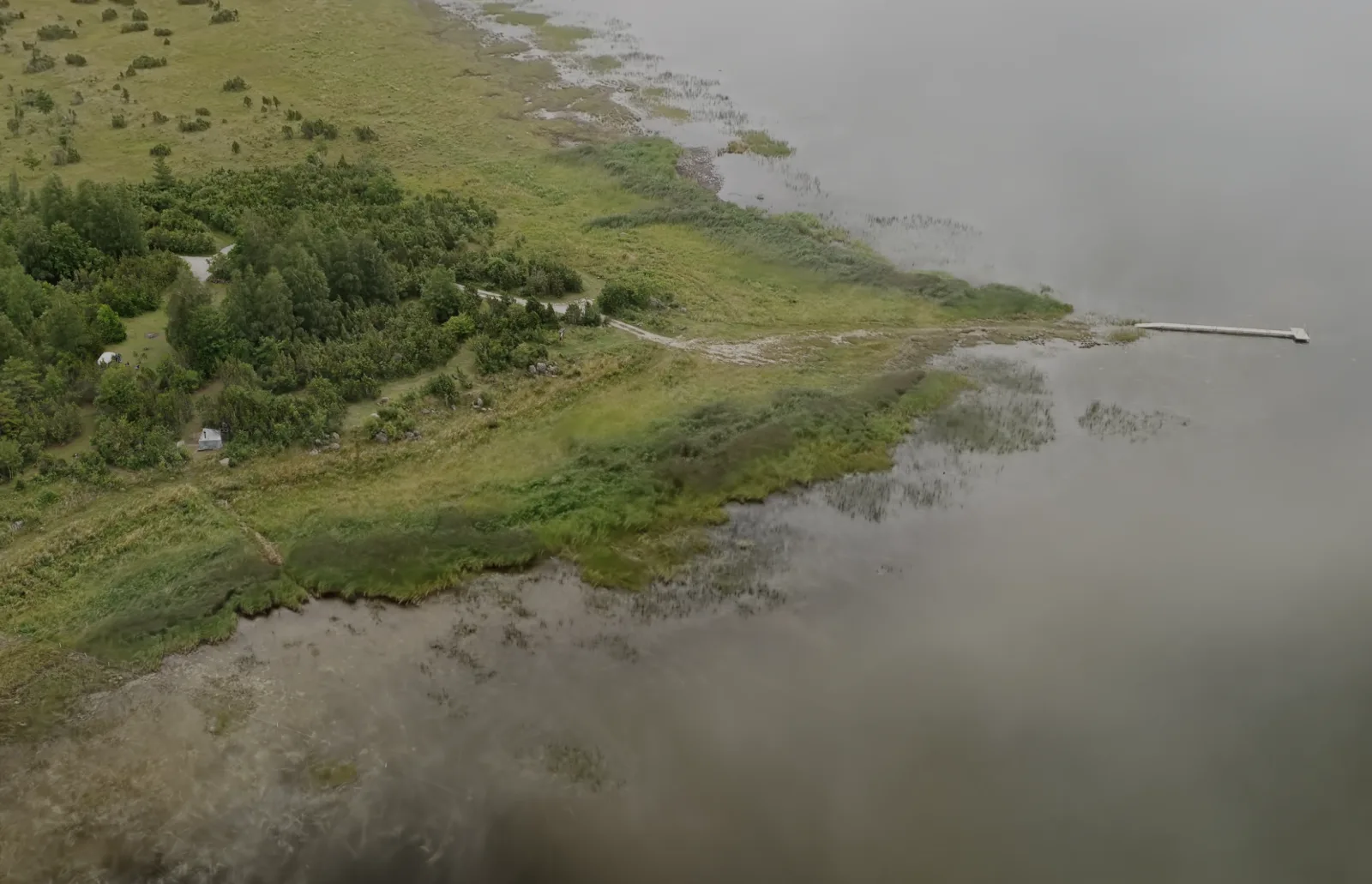
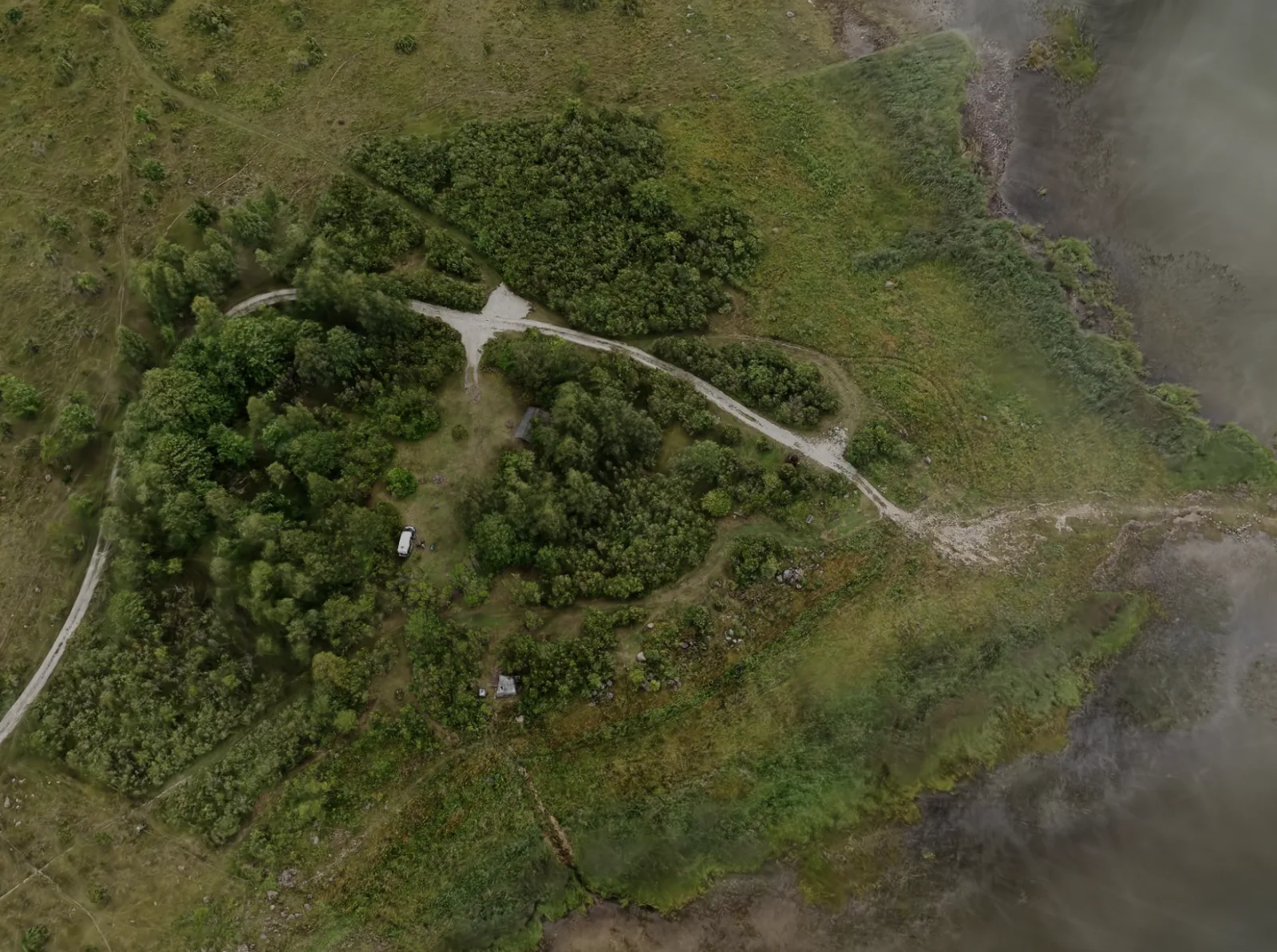
A map can mark the campsite, but it cannot show how the sauna, camping areas, access tracks, and shoreline sit together. Visitors still have to work out the place after they arrive.
The campsite and its free sauna are maintained by the local community. The area is open to visitors without an entrance fee.
02 Approach
We captured the area from the air, processed the footage into a Gaussian splat, and added hotspots inside the scene. Each hotspot opens an annotation about a specific part of the campsite.
03 Outcome
Service used
Drone-enabled Gaussian splatting for places, construction sites and cultural heritage that need to be explored online.
From a skatepark to a museum island: how we capture real places, train splats locally and build browser tours around them.
Read article