What we've learned from drone Gaussian splatting
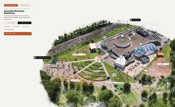
From a skatepark to a museum island: how we capture real places, train splats locally and build browser tours around them.
Read article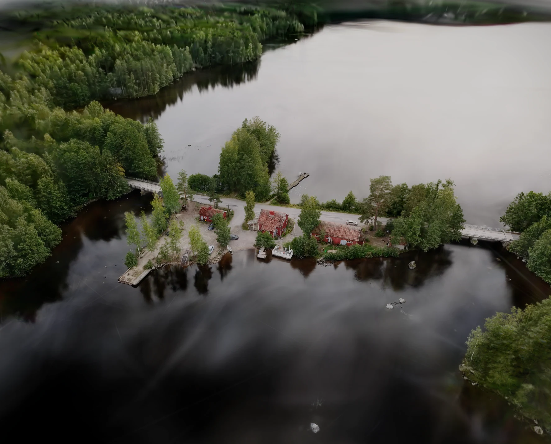

A real island captured from the air as an interactive Gaussian splat
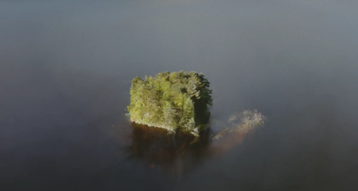
Raatosaari Island was scanned with a drone carrying a 360 camera. The video footage was processed into a Gaussian splat and published as an interactive online experience with annotations, hotspots, and guided camera perspectives.
01 Problem
A place like an island is hard to understand from a flat map, still image, or linear drone video. The viewer can see the shoreline, paths, vegetation, and spatial relationships, but they cannot freely explore the place or stop on the details that matter.
02 Approach
We used aerial 360 drone footage as the capture source, processed it into a Gaussian splat, and prepared it as a browser-based 3D experience. The scene supports hotspots, annotations, text and image information, saved camera views, and simple free exploration around the island.
03 Outcome
Service used
Drone-enabled Gaussian splatting for places, construction sites and cultural heritage that need to be explored online.
From a skatepark to a museum island: how we capture real places, train splats locally and build browser tours around them.
Read article