
A forested cliff above Lake Lievestuoreenjärvi, mapped as an interactive 3DGS scene

Hyyppäänvuori · Nature Tour

Hyyppäänvuori rises above Lake Lievestuoreenjärvi in Laukaa, Finland. This aerial 3DGS scene lets visitors understand the forested cliff and lake setting together in a browser.

Client
flyAR demo
Sector
Aerial 3DGS
Year
2026
Service
Aerial Gaussian Splatting
Delivery
Embedded interactive 3D tour

01 · Problem

A viewpoint is more than a trail pin

A trail map can lead visitors to Hyyppäänvuori, but it cannot show how the exposed rock, pine forest and lake sit together at the viewpoint. Before the climb, the place is still only a collection of separate views.

Hyyppäänvuori sits on the southwestern shore of Lake Lievestuoreenjärvi. Marked trails lead through a protected, Ice Age-shaped landscape of pines, rock faces and forest.

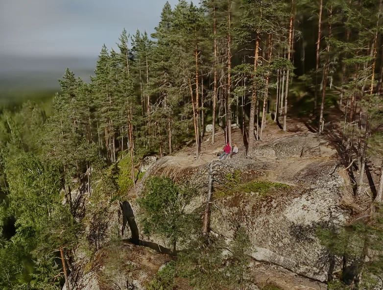
The Hyyppäänvuori ridge seen above the forest canopy and Lake Lievestuoreenjärvi.

02 · Approach

Aerial 3DGS for a forested ridge

We prepared the aerial scene as a browser-based 3DGS tour. It keeps the ridge, forest canopy and lake in one navigable view, instead of fixing the visitor to a single drone route or photograph.

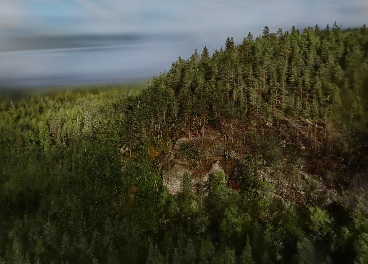
The rocky cliff face and forest at Hyyppäänvuori.

03 · Outcome

A nature tour that opens in a browser

  • Visitors can understand the scale and setting of the viewpoint before they arrive.
  • The trail, rock face and surrounding forest remain visible as one connected landscape.
  • The same 3DGS asset can support guided viewpoints and future visitor information.
  • Read the Hyyppäänvuori visitor information.
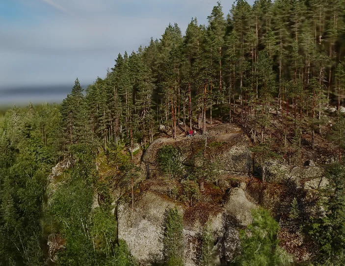
Aerial view of Hyyppäänvuori’s exposed rock, pines and surrounding forest.

/Inputs we worked from

  • Aerial scene
  • Visitor route context

/Audiences

  • Hikers
  • Tourism teams
  • Nature visitors

/Deliverables

  • Interactive 3DGS tour
  • Guided viewpoints
  • Browser-ready embed

/Service used

Aerial Gaussian Splatting

Drone-enabled Gaussian splatting for places, construction sites and cultural heritage that need to be explored online.

Worth knowing before you write a brief

AppsFlyer's 2025 benchmark across 28 billion installs puts Day-1 retention at around 25%. AR apps sit below that floor, because every reviewer is a single-use case, not a habit. WebAR removes the funnel. The link that opened the experience the first time still opens it the second.

Source: AppsFlyer 2025 · Adjust 2026

Read what installs cost an AR campaign